MapBalls
GPS Maps for Android and iOS phones and tablets
Find what moves - YOU!
Fully Loaded($199) everything below Plus future additions
|
Windrock(TN) ($40)
Brimstone (TN) TWRA East (TN) TWRA West (TN) Hatfield McCoy (VA) Pickett State Park (TN) MOAB(UT) |
Blue Holler (KY)
HollerWood(KY) MineMade(KY) Wildcat(KY) Rush Offroad (IN) Stoney lonesome (AL) Indian Mountain (AL) Top Trails (AL) |
It's more than a slogan, it's what we want to help you do.
No matter who you are, there is something special in your heart, something that “moves” you.
Whether it’s Wildlife, Scenery, Tough trails, going fast, going slow - Something moves your soul.
If you don't know what it is, Mapballs is here to help you find it.
If you know what it is, Mapballs is here to help you find more of it.
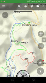
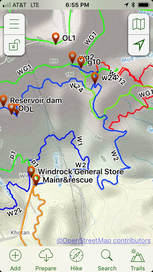
Our GPS ATV Trail maps work on Android, iOS, Garmin, Lowrance and other device and enable you to explore further into the back country by having an active GPS map that shows where you are and what trails and points of interest are around you.
You pick the device and operating system that is right for you. Whether it is your current smart phone or a dedicated tablet of any size - you get to decide what fits your needs.
Our trails are color coded to match the park maps, we include points of interest – Including things not on the trails like ATV Shops, Restaurants, Hospitals, Veterinarians, Contact info for the campgrounds.
Mapballs is also the only mapping solution that shows you the state of Tennessee and county/city street legal routes right on your device. We have gotten most of these verified by TDOT and are still working with TDOT for the rest (not a fast process) We identify the ones that are verified along with the notation from the Tennessee law that lists it in the description. Please note – any of the state highways require helmets and seatbelts. Follow all traffic laws. See our blog post for more information and links to important documents
How many times have you been on the trails and tried to figure out where you were by looking at a paper map? By using our maps, you will know where you are and be able to see what route you need to take to get where you want to be.
Features of our maps:
- Covering trails for Windrock, Brimstone Recreation, TWRA North Cumberland WMA East and West of I75 (Ride Royal Blue, Eagle Campground, the ridges at Royal Blue, Camp Trails End),Rush Offroad, Indian Mountain, Pickett State Park, Blue Holler, Top Trails, Wildcat, Rush Offroad, Stoney Lonesome and more coming.
- Active GPS, Follows and shows you where you are and what is around.
- Works with your iPhone, Android, Garmin and other GPS Devices.
- Cell Service or WiFi not required.
- Color coded with matching numbers and difficulty level for each riding area.
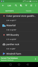
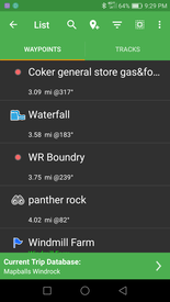
- Points of interest(Waypoints) in the woods as well as the surrounding towns such as Hospitals, Vets, Campgrounds, Gas, Restaurants.
- If you lose, damage or upgrade your device, you can re install on your new device.
- Free updates to the trails that install in a matter of minutes (sent automatically) vs. hours with some other solutions.
- Receive your maps in a matter of minutes instead of waiting days for delivery of a purchased device.
- As an added bonus, you can use our process to record trails around your own riding area as well.
There is more information on our Facebook page including videos of our maps
in action and some showing how to use it.
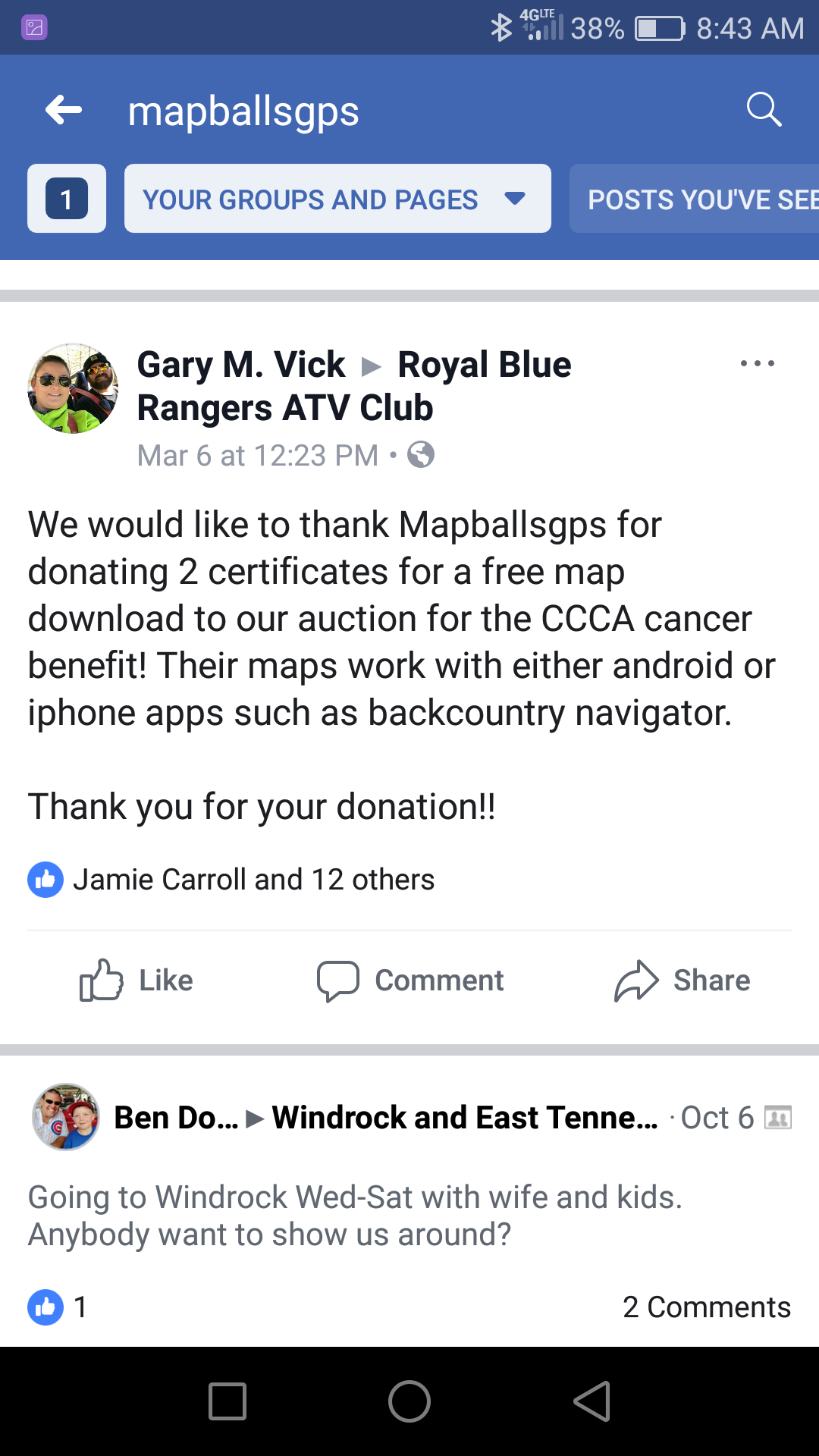
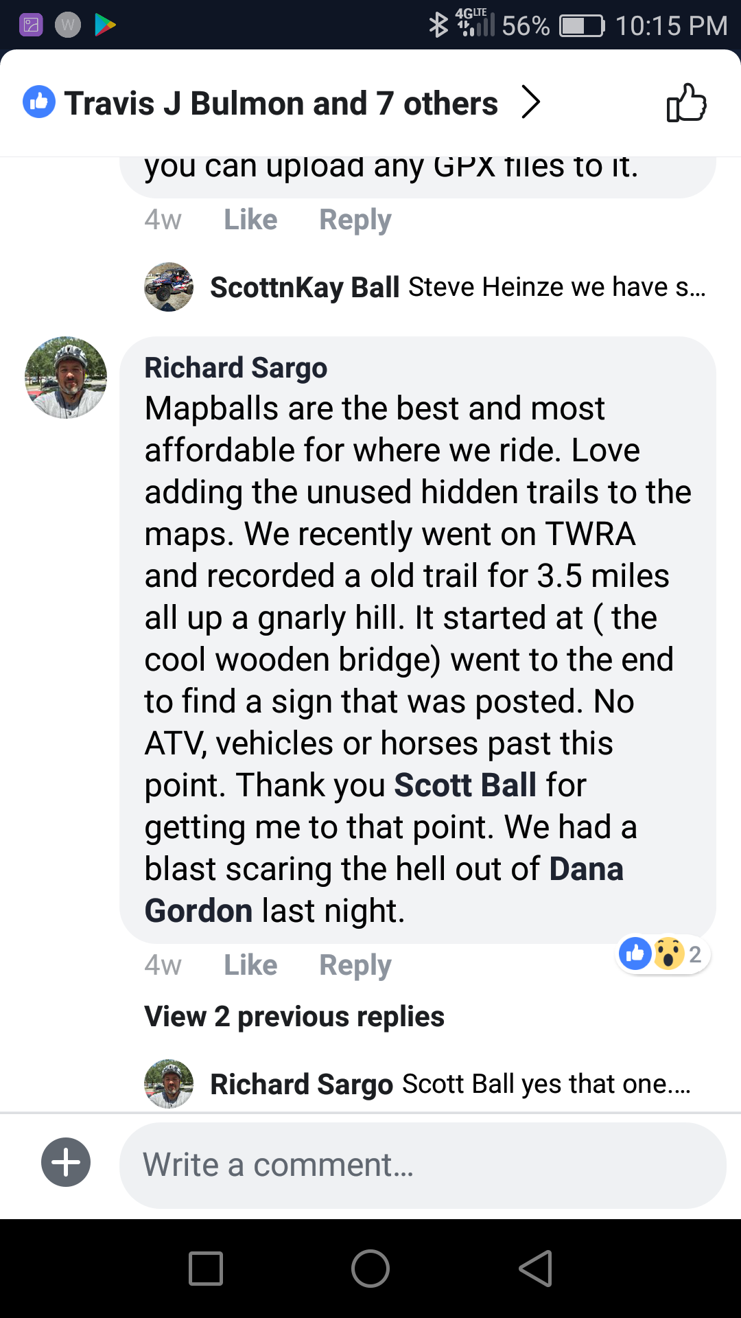
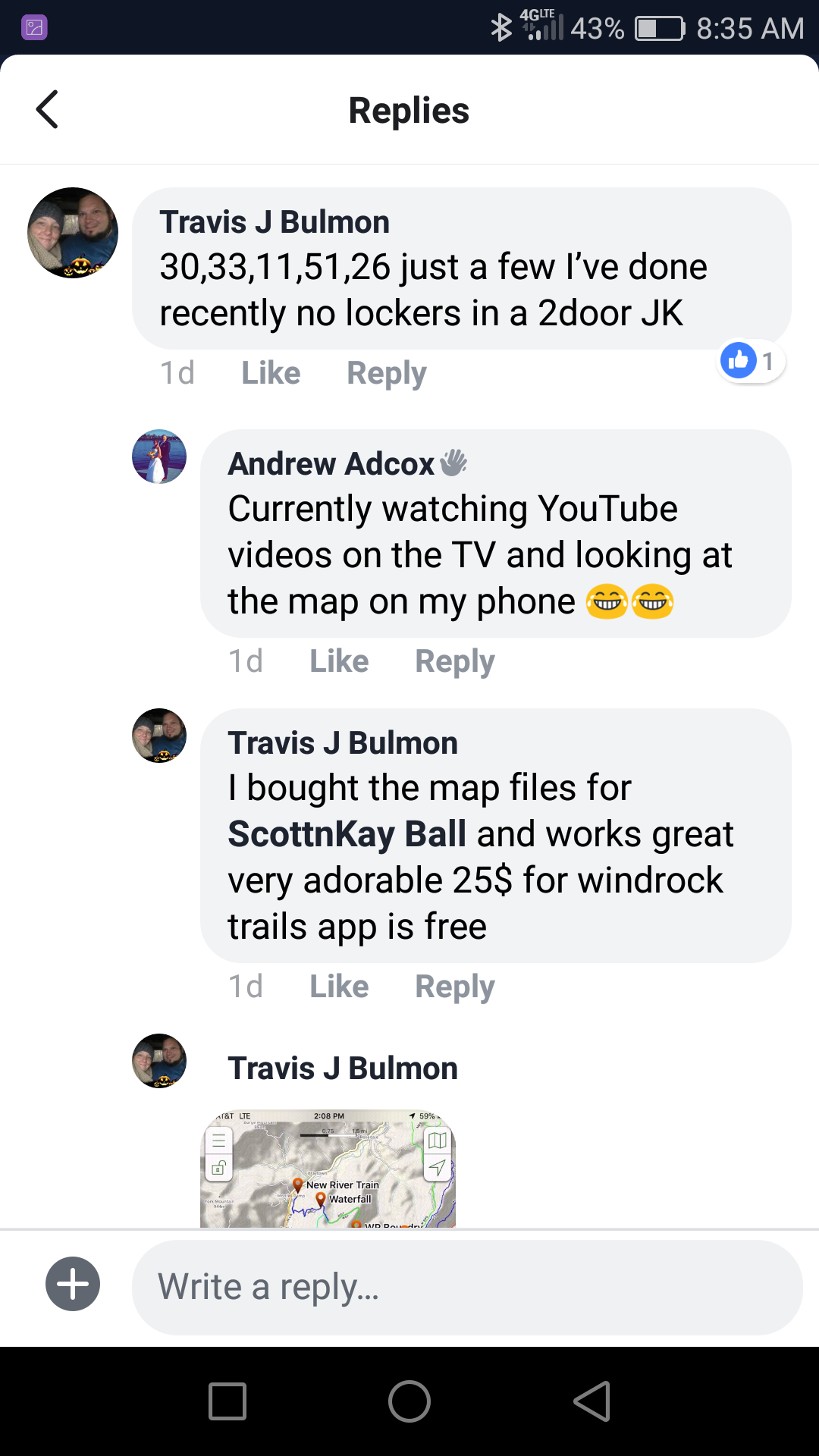
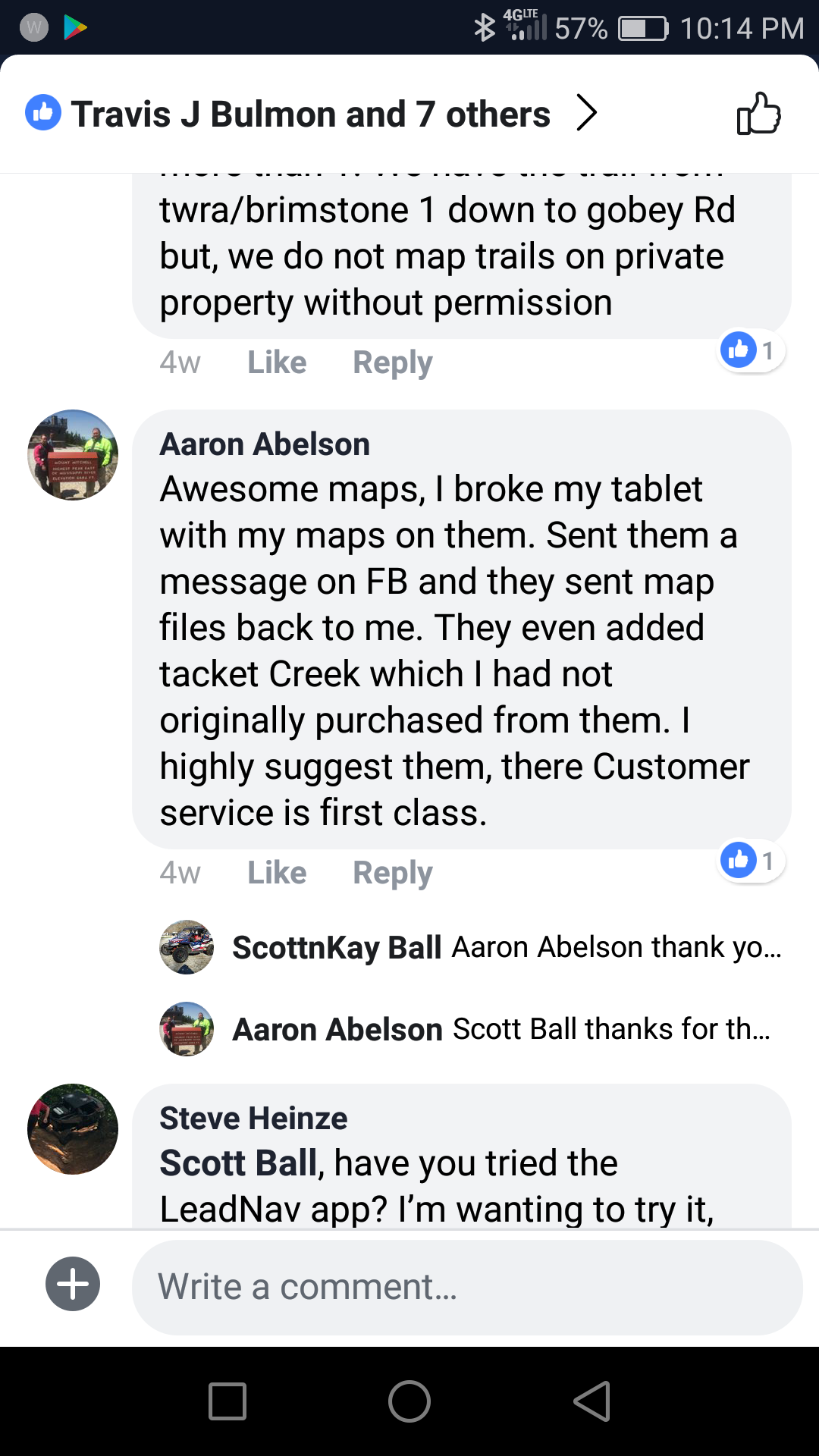
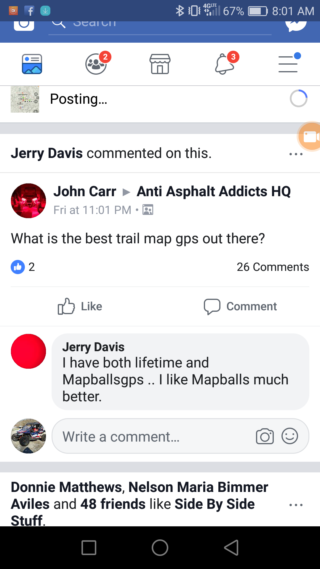
See comments from just a few of our happy customers below.
ú

