Our Story
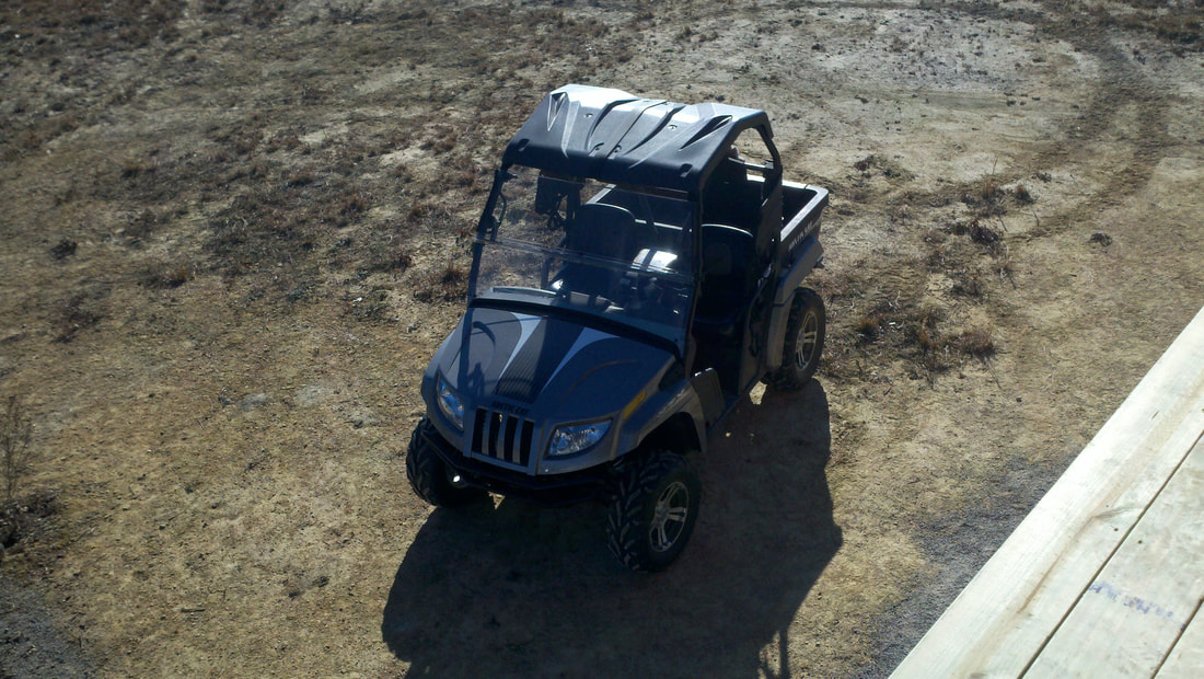
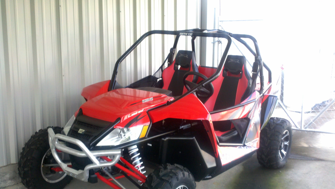
We started riding Side by Sides (an Arctic Cat Prowler) at Brimstone in 2011. Our first trip, we got stuck on a weekday with no winch. We were lucky enough that some generous folks came by and helped us out. After about 100 miles in the prowler, we decided it was time to upgrade and traded in for a 2013 Wildcat. Being able to cover a lot more ground means you can also get a lot deeper into the back country.
We started creating GPS based trail maps because we enjoy riding and have encountered so many people that are stopped on the trail looking at a paper map and asking where they are. Most parks have a paper map - some are very good, some leave a lot to be desired.
We started creating GPS based trail maps because we enjoy riding and have encountered so many people that are stopped on the trail looking at a paper map and asking where they are. Most parks have a paper map - some are very good, some leave a lot to be desired.
Paper maps are great and we recommend having one with you but, if you don't know where you are and what direction is what - they don't help. Having a gps on your phone or tablet is a valuable tool.
We have ridden and recorded every trail on our maps.
We then bring them back, load on a computer and edit them to ensure connections are correct and intersections link up.
We add waypoints (points of interest) as we are riding. These might include overlooks, mines, waterfalls, places to eat or get gas.
We also include park offices, emergency contacts, campgrounds and contact info for each.


